Climb the Cascades Fundraiser: Mt. Adams Trip Report (Volcano 5/5)
This trip supported my 2022 Adventure Fundraiser for The Cairn Project. I climbed 5 volcanic peaks to raise grant funding for female youth-serving organizations to expand access to outdoor learning and experiences! This was the donation page.
Mt. Adams Summit via South Climb: August 12, 2022
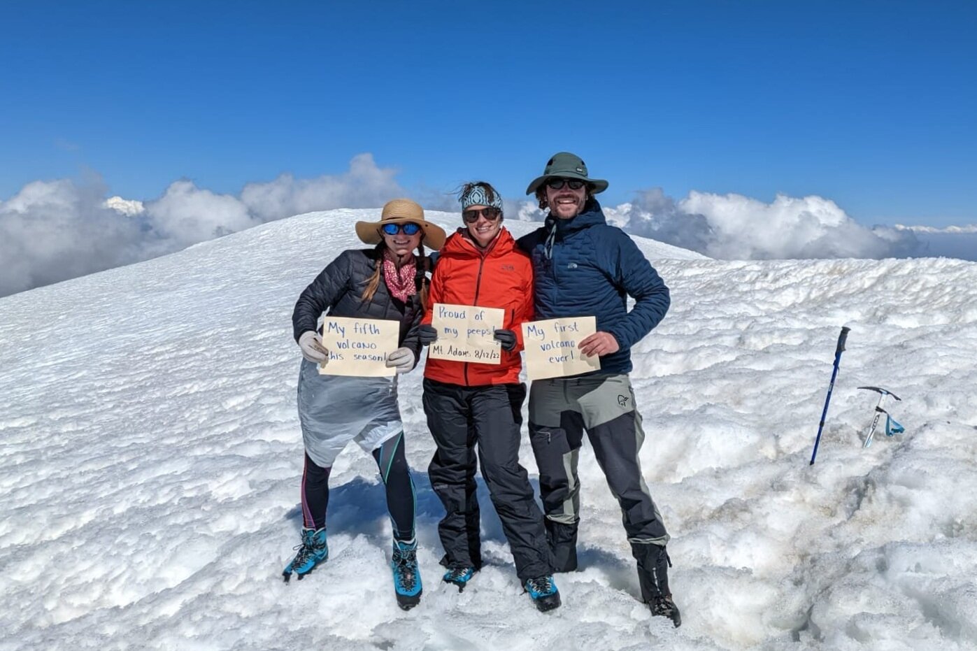
Katie surprised us with signs: “My fifth volcano this season,” “My first volcano ever",” and “Proud of my peeps.” I’d already donned my glissading trash bag diaper.
The Backstory
I’ve had a love affair with Adams ever since I first climbed it in 2018. My alpine buddy Katie and I make a trip up every year, usually as a single-day South Climb with a relaxed pace, fantastic snacks and fun summit outfits.
But, we’d never done it this late in the season before! We typically go in May or June, so we were curious to see what the mountain would look like in mid-August. The 2022 snowpack is great, and I’d seen on trip reports that there was still plenty of good snow, so we jumped at the chance to head up on an open Friday.
My intention for this climb was to celebrate all that I’ve learned throughout my Adventure Fundraiser (this was peak 5 of 5!) and to enjoy going with somebody totally new to mountaineering: the third member of our party, Josh! It’s always a blast to introduce someone to a new outdoor sport or destination.
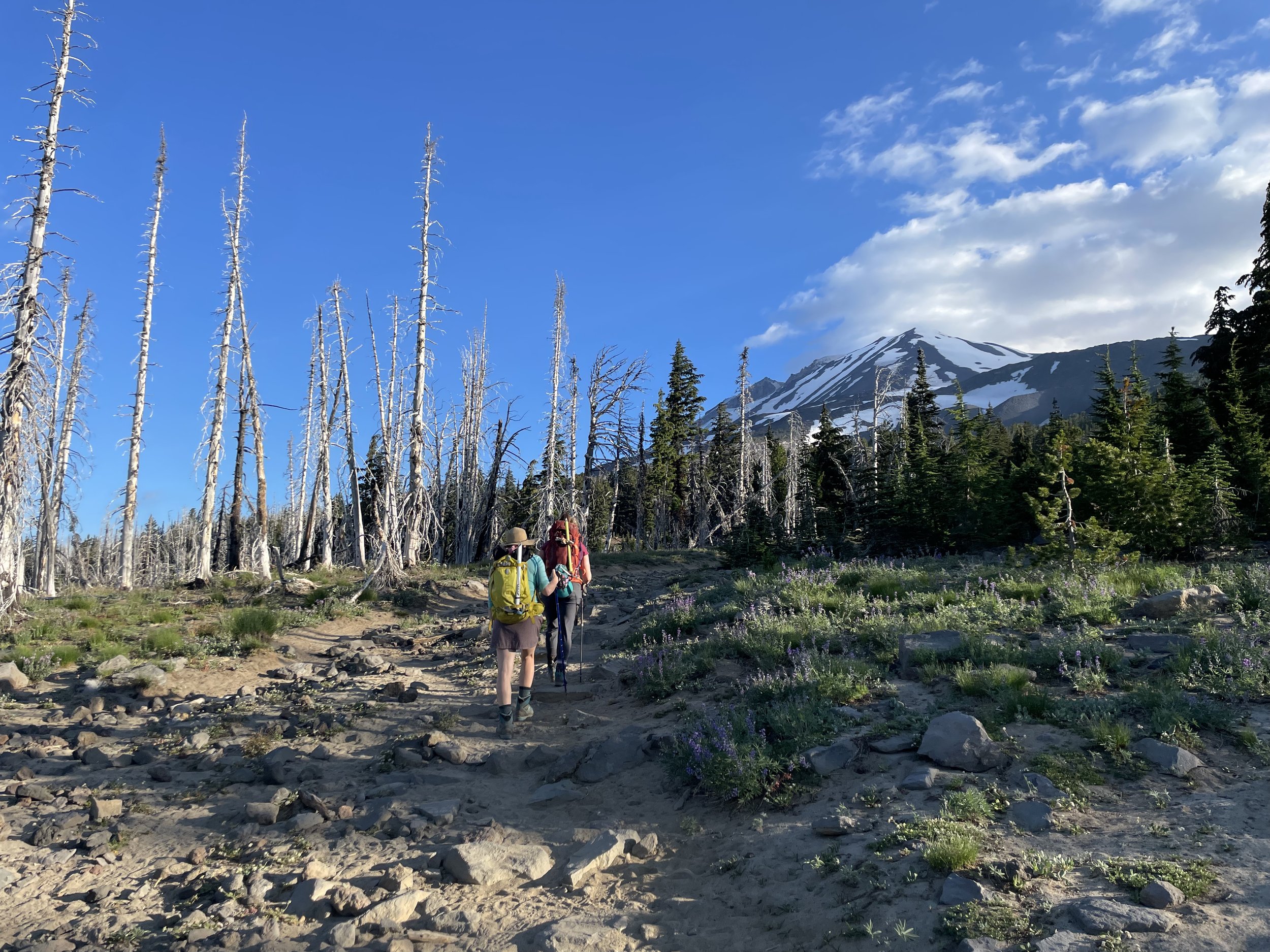
Myself and Katie towards the start of the trail from Cold Springs Campground. (Taken by IG @jpdpdx)
The Ascent
Katie and Josh arrived at Cold Springs Campground late Thursday evening to camp in the truck. When they arrived, there were only about 10 cars parked there. But a bunch of cars came in late that night/very early that morning for alpine starts, which made the campground pretty noisy. Be warned if you choose that option!
I opted to drive in the morning, and I met them at 6:15am (by which parking was pretty full). We started hiking just before 7am, which was later than most people, so we didn’t run into many folks the first few miles. Katie and I don’t opt for alpine starts on this peak, since it’s non-technical and we love our full nights of sleep. Of course, you’ll get some good, firmer snow on the ascent if you leave earlier, which most people did.
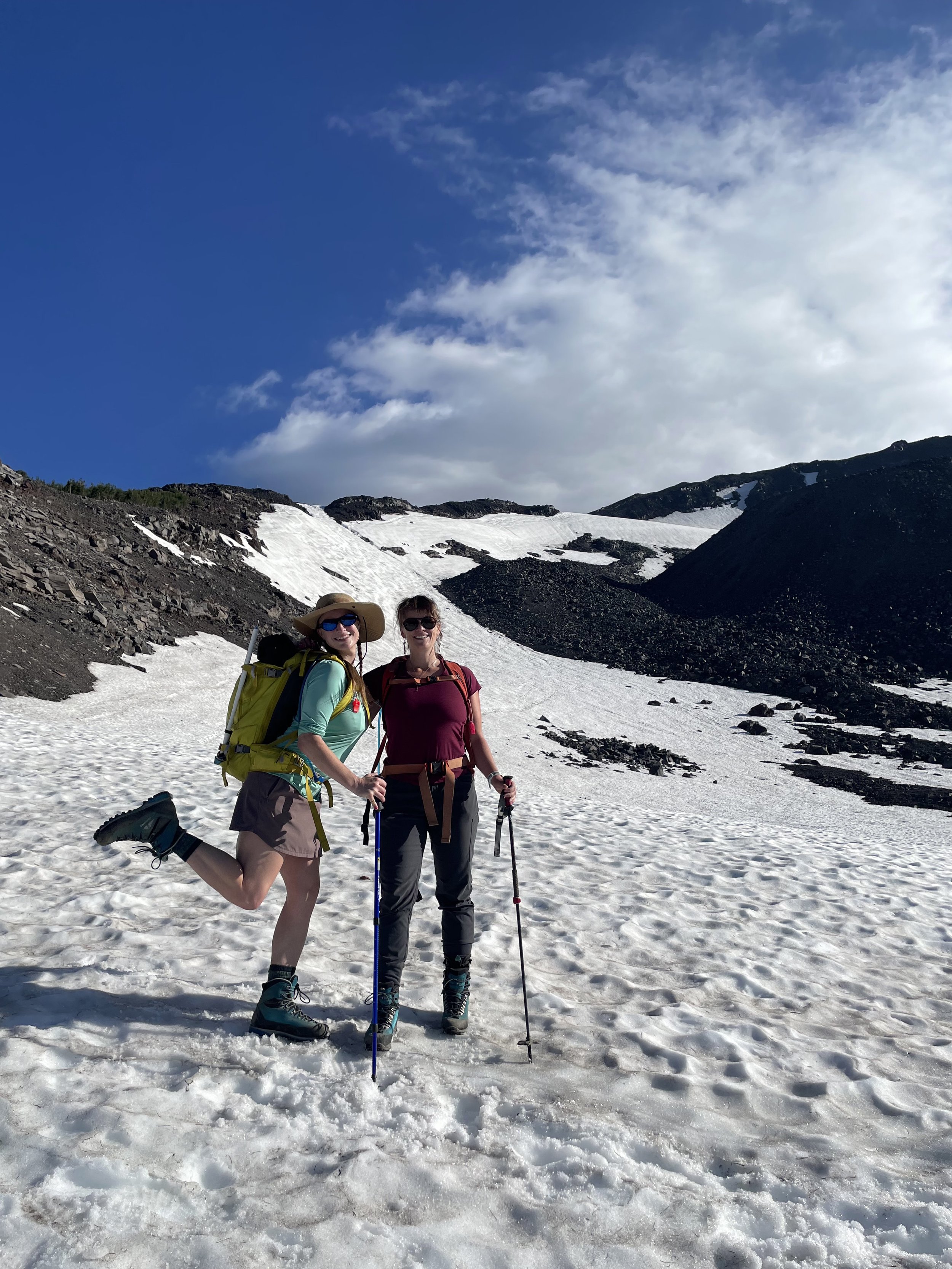
Our first steps in the snow. We gained the ridge on the left, which was snow-free but the best route up. (Taken by IG @jpdpdx)

The weather kept us guessing. The forecast was good, but we had changing clouds (including this lenticular) all day. (Taken by IG @jpdpdx)
The snow was soft (sometimes annoyingly slippery) but consistent. You could see the effects of heat and late-season conditions; plenty of rocks were scattered about slopes.

This short, steep slope had a lot of rock debris. Be rockfall aware and move efficiently through spots like this.
We took a long break at Lunch Counter to fuel up. At that point, you’re more than half the distance but a bit less than half the elevation gain of the ascent. And the “top” of where you can see from there isn’t the true summit; it’s Piker’s Peak, the false summit.
We put on our crampons at Lunch Counter. It wasn’t icy yet, but we wanted more traction on the steep slopes.
The clouds were mesmerizing. I didn’t get any photos to do it justice, but the swirling patterns and wispy fingers were unlike any cloud formations I’d seen before. I wondered what made them like that— any cloud/weather nerds know?

Interesting, constantly-changing clouds from all directions. Lunch Counter is to the right of this photo. The largest patch of snow, on the right, is the Crescent Glacier, which you ascend to Piker’s Peak. Official Yakama Nation land is beyond the ridge on the right.
From then on, it was the slog up towards the false summit. The push is about 1.3 miles, but the slushy snow on such a steep slope made it quite a workout.

Katie and I breathing hard up the Crescent Glacier. (Taken by IG @jpdpdx)
We wondered whether or not we’d have views from the summit, due to the changing clouds. I didn’t mind much; I’d seen everything before, but I certainly hoped we wouldn’t have chilling winds up there (or any whiteout).
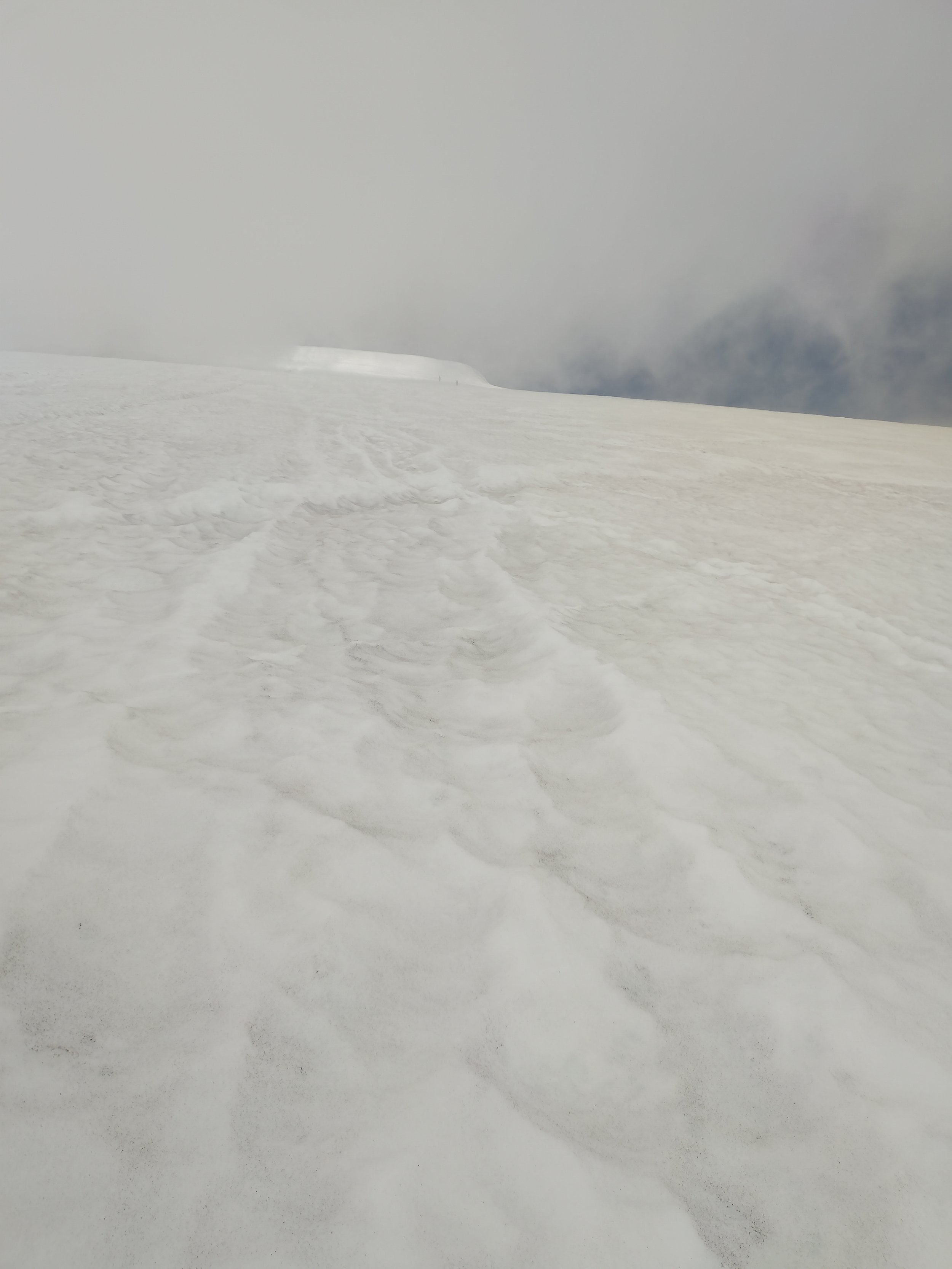
Puffy but thick clouds on our way up towards Piker’s.
And some of this, too.
Finally, we reached the false summit and took a breather. I know that it’s here that many people feel completely demoralized at what’s left to go, and some turn around. But— my unpopular opinion— I don’t think that final push is that bad. I adore the anticipation of the summit during a final push, even if it’s difficult. I often find the excitement of the last slope more thrilling than the summit itself… Anyone else?
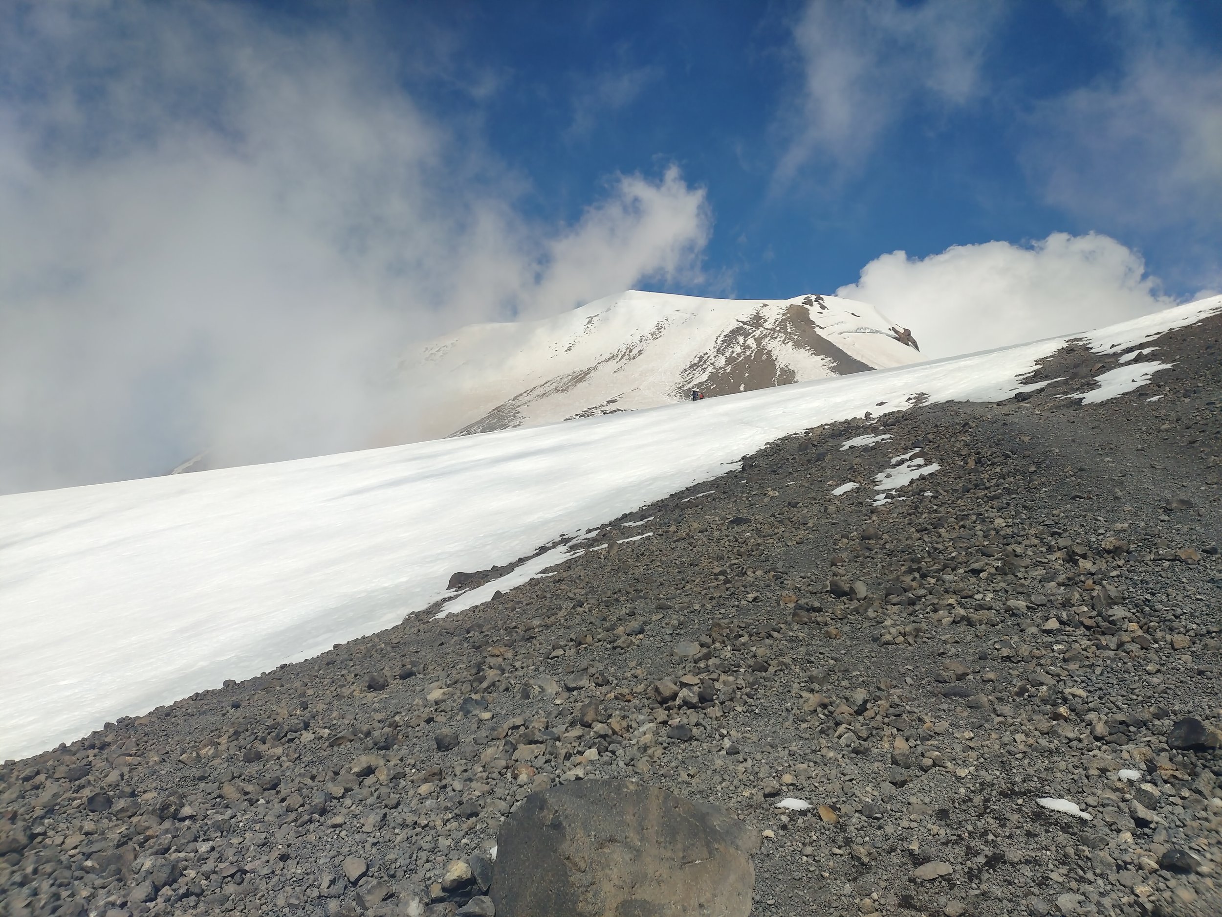
View of the true summit from Piker’s Peak. If you squint, you can see the glissade chutes from the top.
We had a relaxed pace for the entire ascent, and Josh was amazingly energetic and positive for his first-ever time using crampons or an ice axe. He rocked it! It took us a bit over 7 hours (stopping included) to reach the summit.

Keepin’ it weird. Check out the line of climbers on their final push to the summit. (Taken by IG @jpdpdx)
The Summit
Woohoo! We summitted a bit after 2pm, with only one small group there when we arrived. It was hovering above freezing, but the crampons helped a lot to get up there.
The hut was poking out a bit, but the late snowpack definitely has it more covered than usual at this time of year. (This time in 2021, a low snowpack year, it was totally exposed.)
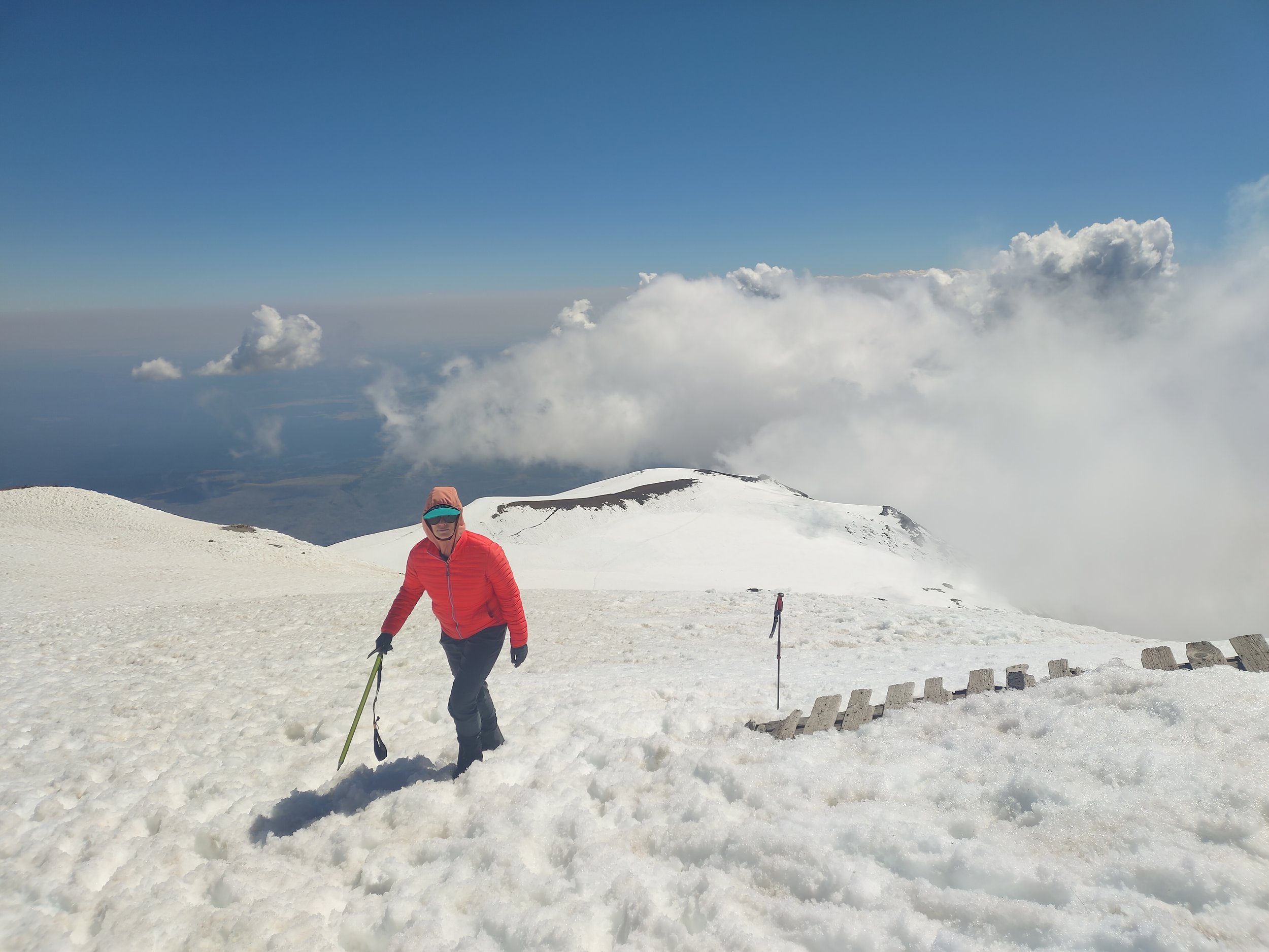
Katie passing the hut.
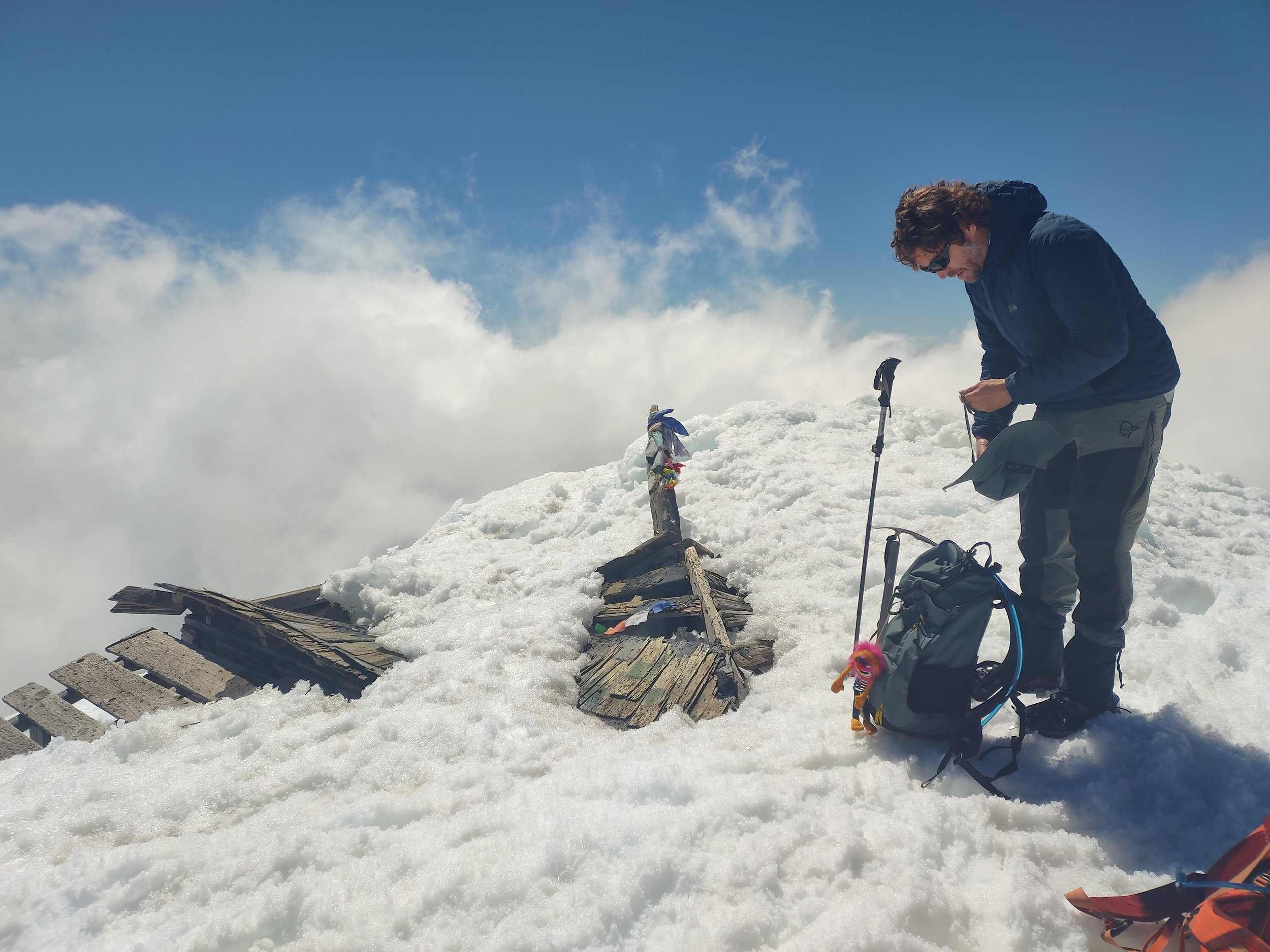
Josh adjusting his layers.
We spent an hour relaxing at the summit. I’d hauled up a slice of cheesecake my partner got for me the day before, and it was so worth it.
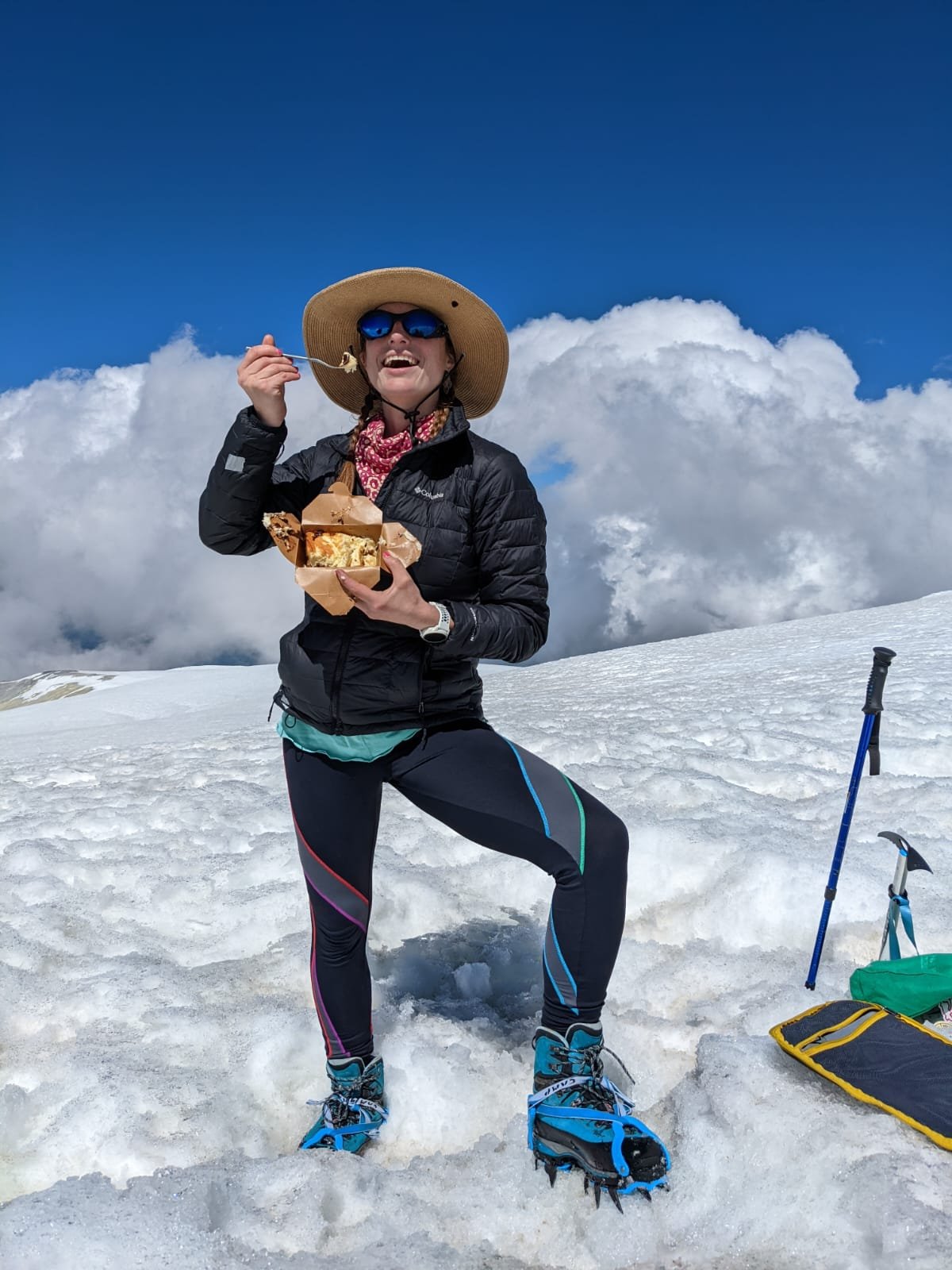
Cheesecake: great summit fuel. Even when smooshed.
The views were meh. Most of the time, it was too cloudy to see any other volcanoes or landmarks. But, for a few minutes, we got a bit more distant visibility.

Looking east from the summit.

Looking north from the summit. Rainier poked out, center-right!
The best part? Katie brought a uterus flag, and we both brought our summit celebration outfits.

Our bodies, our choice.

As a huge fertility nerd, I was stoked to connect this flag with mountaineering. Body autonomy, always.

A few minutes of some Vitamin D on my skin.
The Descent
We started to glissade right from the very summit. Chutes were visible on much of the climb, and you could tell they’d been there a while. But OOF, those upper chutes were a bit too icy for my booty. I grimaced more than I laughed this time.

Katie about to start down the first glissade chute. (Taken by IG @jpdpdx)
In 2019, I made a terrible mistake of wearing too-thin pants on too-icy snow which scraped a few layers of skin off, and I couldn’t sit down properly for weeks. I was nervous about the conditions this trip, but the snow softened up as we got down a few chutes, which my butt liked.
We continued down and glissaded as much as possible until it turned back to mainly rock, a ways below Lunch Counter.
The crux of the descent was going down the rock ridge around treeline. Going up it in the morning was sketchy enough, but going down super loose rock and dirt on tired legs made it even worse.
We spread out and picked our way down. We noticed a traverse that started to the south, but slipping over there had much higher consequences if you fell down the slope. Based on the footprints, I think most climbers opted for this scramble.
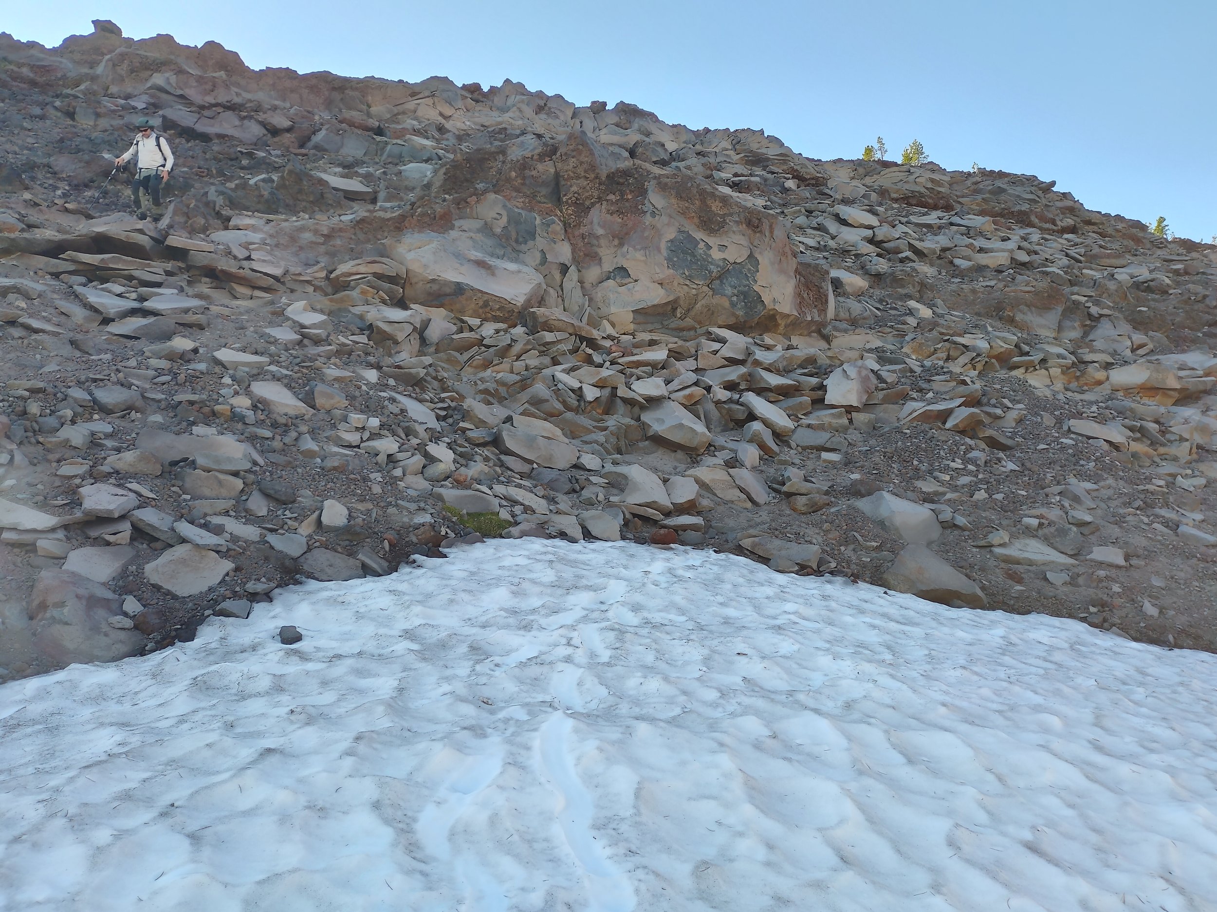
Josh coming down the rock scramble just at the border of the forested section.
From the bottom of that ridge, we had about 2 miles back through the forest to the trailhead.
We took about 4.5 hours to go from summit back to car. We didn’t use crampons on any of the descent.

Me and Katie in the final moments of the trip. (Taken by IG @jpdpdx)
Reflections
The fun:
I completed my Adventure Fundraiser! This was my 5th volcano this summer in my goal to raise grant funding to get girls outdoors.
Going with someone new to mountaineering! Josh rocked it. I love seeing people get stoked on a new sport.
So much gratitude for everything that allows me to be in places like these: the welcoming people, the expensive gear, access to the land that belongs to Yakama Nation, a car to get me there, a good weather forecast… I’m so privileged to move through these spaces, which is one reason I’m giving back through my fundraiser.
The not-so-fun:
Tummy troubles: From the get-go, I had icky digestion. Don’t like talking poop? Skip the next sentences… I had small bouts of near-diarrhea FOUR TIMES on the route, which made me feel very sluggish and more fatigued than I’ve been on this mountain before. I never felt like it was medically dangerous, but it was a big annoyance to feel gross and tired from whatever upset my stomach. (Perhaps the soba noodles I scarfed down for breakfast?!) I share this to note that I still practiced Leave No Trace and picked up and packed out all my poo. There are currently plenty of new blue bags available for you to take for free at the trailhead. But, there is no receptacle currently available for used wag bags at the trailhead, so you need to drive it home. Be prepared, so we can keep the mountain pristine!
Glissading troubles: The last couple times I glissaded this summer, I thrived with a thick garbage bag. But this time, I packed a different kind of bag, which was thinner and not as slide-y. Unfortunately, it didn’t work very well, and my butt could feel it on the upper mountain. So, I figured I’d use the emergency foil blanket I keep in my first aid kit. Welp, that ended up being torn to shreds when I switched to it. Both my options were NOT good, and a day later, my butt has a ton of scratches (though pain is nowhere near the 2019 debacle). Also, be aware of hidden rocks just under the chutes. I hit a few, and OUCH.
Class IV driving: Ah, the drive to Cold Springs, always a good time… For some reason, I found it worse than usual this time. There were dozens of those big bumps (the ones where you want momentum but also don’t want to ruin your shocks), cars coming from both directions on the one “lane” dirt road, errant rocks to avoid, and glaring sun on the way home making it hard to see all that. Thankfully, I only had to pull over twice for cars to squeeze by, and on the steepest sections I didn’t run into anyone. Definitely bring a 4WD vehicle. (Also, on the way there in the morning, I saw several deer crossing the road, and Katie and Josh saw a bear the night before— stay aware!)
The watch stats:
11.7 miles
6841’ elevation gain
12 hours on the nose
Max speed 5.12 mph (presumably a good glissade chute)
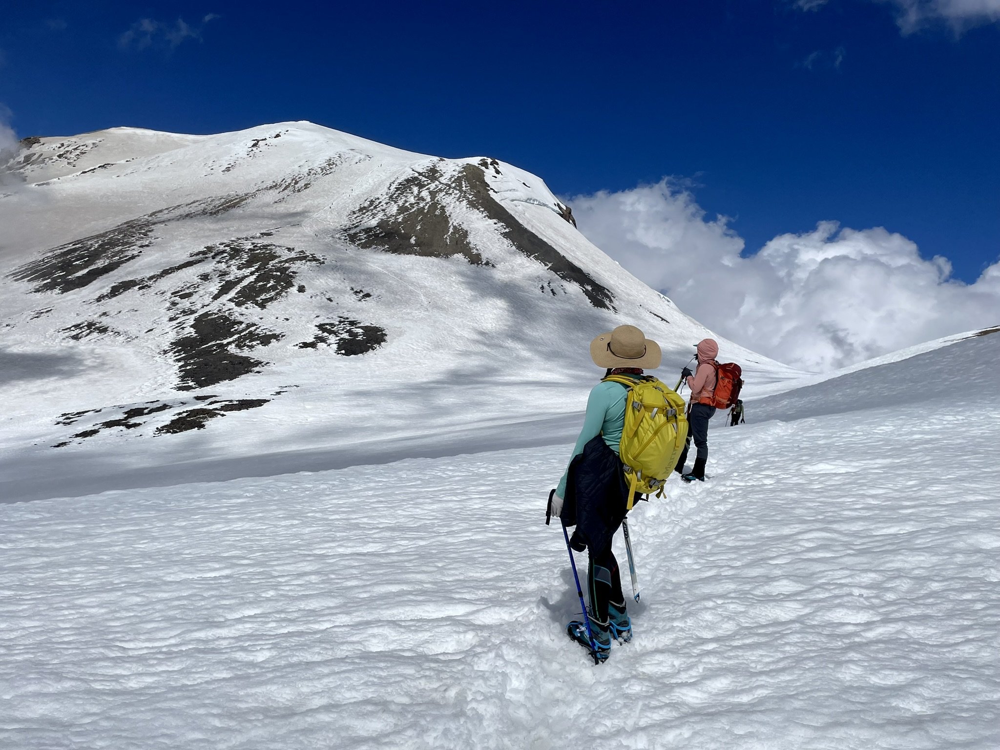
So happy and grateful. (Taken by IG @jpdpdx)
Another gorgeous day in the Cascades, complete. To read my other trip reports this summer, scroll down on this page.
Looking forward to many more in the years to come— and to hopefully continue building my skills on more technical peaks!
If this gave you any insight or inspiration, would you be able to donate $5 to my Adventure Fundraiser for The Cairn Project?
100% of your donation will go towards getting youth girls on life-changing outdoor experiences!
This climb occurred on the stolen ancestral land of the Yakama people who remain caretakers of this incredible region. Please consider an annual donation to the Indigenous people whose land you live or recreate on.
